Bike-a-Local
Explore the secrets of Singapore by bicycle – DIY
Seletar Airport, Rower’s Bay, Coney Island and Punggol Waterway

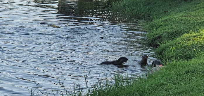
Otters-Rower’s Bay
Credit: Brian McAdoo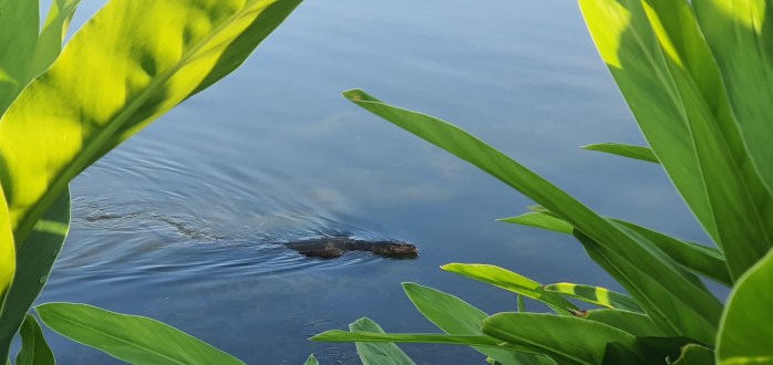
Monitor Lizard-Rower’s Bay
Credit: Brian McAdoo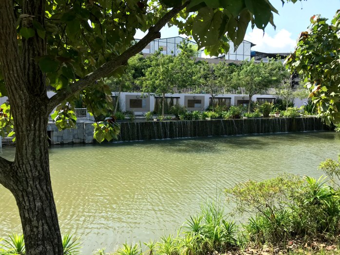
Waterfalls-Punggol Waterway
Credit: Robin McAdoo
Hampstead Gardens
Credit: Brian McAdoo
Jewel Bridge-Punggol Waterway
Credit: Robin McAdoo
Lorong Halus Bridge
Credit: Brian McAdoo
Punggol Waterway
Credit: Brian McAdoo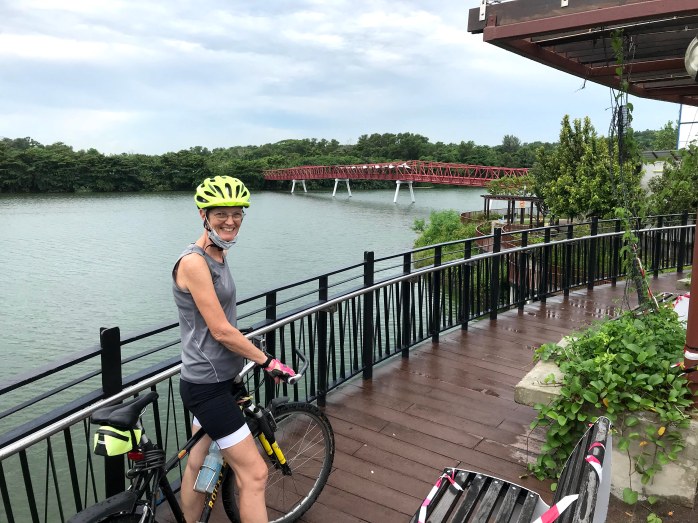
Sunrise Bridge
Credit: Heidi Sarna
Coney Island
Credit: Kim Cheah
Coney Island
Credit: Kim Cheah
Coney Island
Credit: Kim Cheah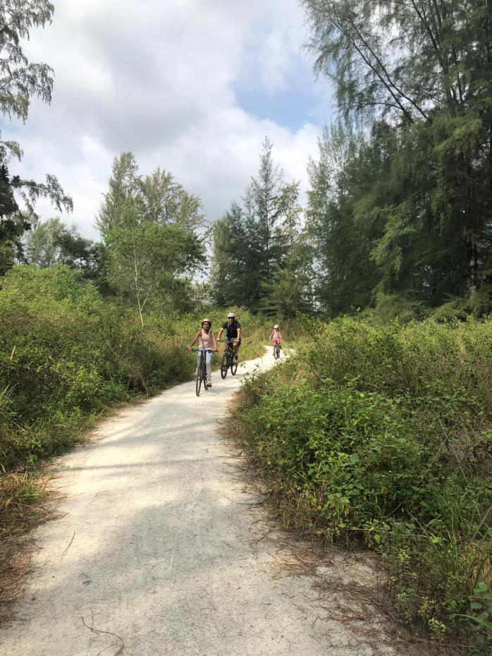
Coney Island
Credit: Neha Patel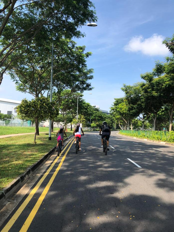
Seletar Airport
Credit: Neha Patel
Ride #9: Seletar Airport, Rower’s Bay, Coney (Serangoon) Island and Punggol Waterway
Difficulty Level: Moderate
Route Start/End: Seletar Airport
Route Length: 30km +/-
Terrain: This route is mostly flat and sidewalks or PCNs with one 3 km section of industrial highway.
Route Comments: This is a beautiful ride if done at early or late in the day, otherwise, it might be rather brutal with heat. The wildlife you might see at Rower’s Bay or in the Sengkang Wetland is really a treat, in addition to the views of Malaysia from Punggol Pt.
Caution: This route is some sidewalks, mostly PCNs, and one industrial section that is about 3km long. This industrial section is much easier ridden on the road but if you are uncomfortable, the keep to the right side of the road after leaving Rowers Bay and heading north. The sidewalk will take you across the bridge and continue along the entire industrial section. Once off Punggol-Timor Island, make your first left at the small intersection onto the PCN. The rest of the ride is almost entirely PCNs until Jalan Kayu. Pay attention to road crossings.

The Google My Map is linked here and the Instructions (in a Google Doc) are linked here.
Contact us with any questions or updates to the route.
Email: BikeaLocalRobin@gmail.com
www.Bike-a-Local.com
Liability:
By downloading a Bike-A-Local DIY tour route, you (and anyone you are riding with) agree that Bike-A-Local.com is not liable for any loss/damage, injury, illness, accident, fatality, etc. that may occur during the ride.
Safety:
Our routes have been carefully planned for maximum safety. We cycle mainly on PCNs (Park Connectors), alleyways, quiet streets and sidewalks. However in a big city like Singapore, it will be unavoidable for us to cross busy roads during the course of the rides.
Safety is our #1 priority. Bike-a-Local.com is a provider of self-guided route information. The user of this information is expected to follow all safety cycling protocols and Singapore’s Cycling Code of Conduct https://bike-a-local.com/safety/.
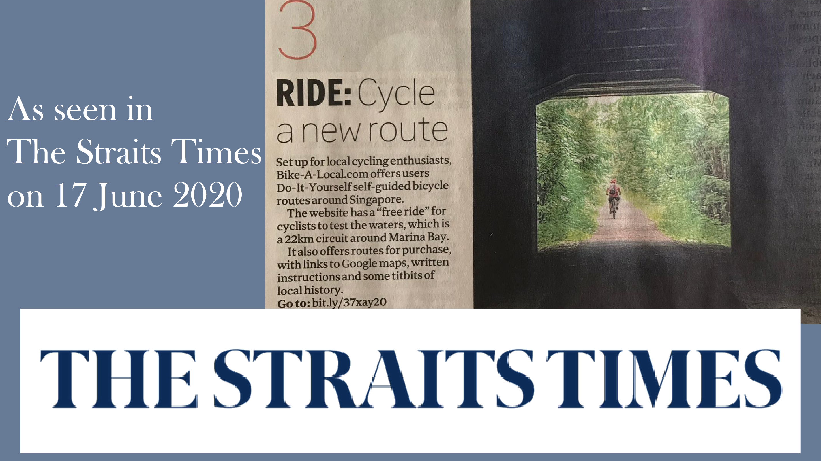
As seen in The Straits Times